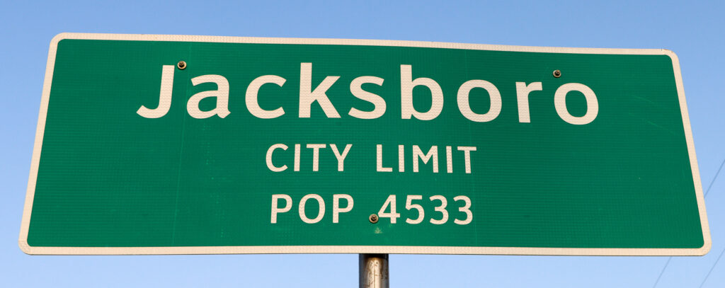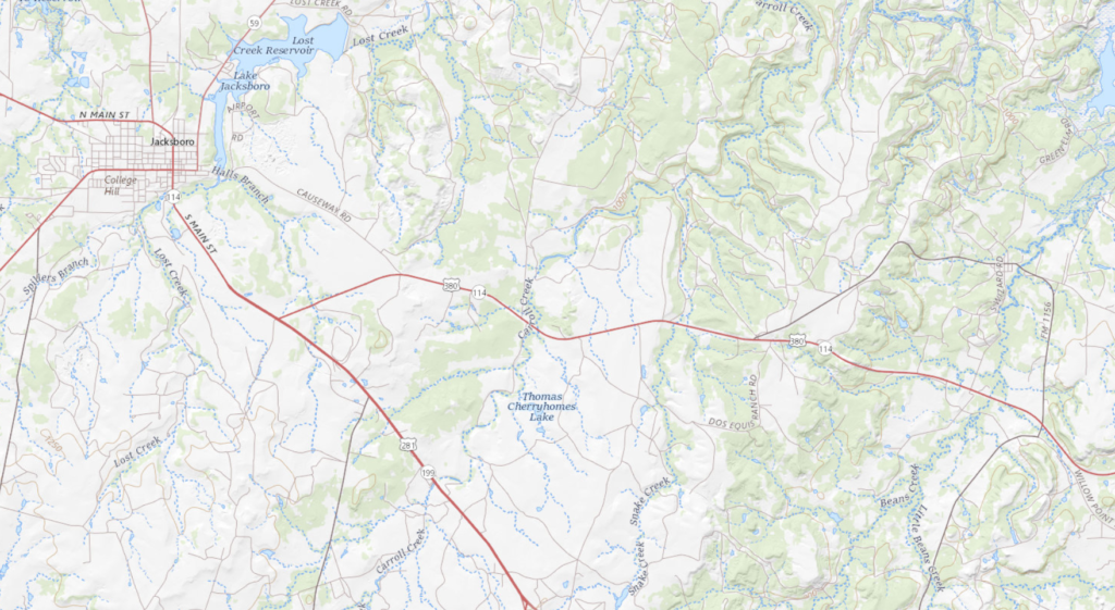
Dallas is flat as a board. Don’t get me wrong, DFW is a great place to live, to work, to raise a family, etc. But interesting topography? No, we don’t really have that here. Things begin to change a little, however, and for the better, as you approach Jacksboro[1]More here., about 90 miles north-northwest of Dallas.
In fact, the subtly changing scenery is one of the best parts about a trip from Dallas to Lubbock, beginning with the formations in and around Jacksboro, including the Lost Valley[2]Some colorful stories of this area can be found here. And also here. west of town, near Jermyn, before it flattens out again, heading to Olney, and culminating with the redrocks and canyons of the magnificent Caprock Escarpment, featured on the homepage of this site.
Headed west from McKinney on SH380, after passing through Bridgeport and Runaway Bay at about 830 ft. elevation, you enter Jack County and begin a gradual climb up to about 1,200 feet at the turn-off to Wizard Wells on FM1156.[3]More on Wizard Wells
Those from mountainous regions will scoff at these small reliefs, but they’re enough to provide some nice wide-open vistas and beautiful sunsets, and with mesa formations that overlook the shallow valleys below cut by Beans Creek[4]Beans Creek was named for Thomas C. Bean, who owned land along the creek in the 1850s. More here. and Carroll Creek.[5]Carroll Creek was named for James Carroll, who surveyed the area in the 1850s. More here.

But if your objective is to thoroughly understand a place, then you really need to include the geographers and the geologists. Because if you dig a little deeper–actually a lot deeper, about 5,000 feet deeper into the soil and rock, according to geologist James C. Henry[6]Mr. Henry runs Old Aulacogen, L.P. a geological consulting service based in Frisco, Texas. He’s also a great storyteller–be sure to check out two articles about the Jacksboro … Continue reading–you’d learn that a large river once flowed through here, about a mile east of the current Jacksboro townsite.
Over time, it cut right through the limestone hills of the Forestburg rise, all the way down to the river bed as far as 700 feet below. That’s deeper than the river valleys of the present-day Trinity or Brazos. Of course, to have paddled down the Jacksboro River in your canoe, you’d have to have been here about 312 million years ago, give or take, by Mr. James’ estimate, during what’s referred to as the ‘Early Pennsylvanian Period.’
You’d have seen 50 ft. tree-sized ferns, and dragonflies with 2.5 foot wingspans resting on 30-foot tall horsetails.[7]More on the Pennsylvanian Period Fishing, however, would not have been advisable, and particularly no form of ‘noodling’ whatsoever, since one of the dominant predators of the era was actually a fish–the Rhizodontida, which reached 7 meters in length, had an extremely powerful bite, and preyed on other fish and even large sharks.[8]Rhizodontida
I don’t know about you, but when I hear numbers like these–“x hundred mybp”[9]million years before present–a first reaction might be that knowledge of these ancient epochs is not relevant to our lives today. But if you zoom out a bit in your thinking, it’s rather obvious that they were the determining factor that ‘our lives today’ ever materialized in the first place, and how–on this planet, at least–they’re likely to change in the future.
Anyway, back to the current epoch: when traveling from what we today call ‘Dallas’ to what we today call ‘Lubbock,’ I always look forward to getting as far as Jacksboro. The first appreciable change of topography, along with a good meal at Casa Grande or a burger at Herd’s–these are some of the first early payoffs of this particular road trip. Plus I just think the name sounds cool: “Jacksboro.”
Much more to come, but for now, a few photos from in and around Jacksboro…


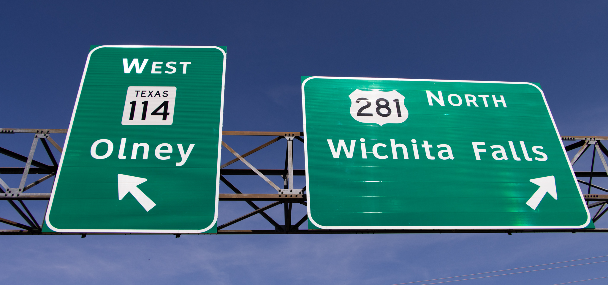
From here, it’s about 38 miles to Olney. Or, for a shortcut, you can just click on one of the highway signs below.

References
| ↑1 | More here. |
|---|---|
| ↑2 | Some colorful stories of this area can be found here. And also here. |
| ↑3 | More on Wizard Wells |
| ↑4 | Beans Creek was named for Thomas C. Bean, who owned land along the creek in the 1850s. More here. |
| ↑5 | Carroll Creek was named for James Carroll, who surveyed the area in the 1850s. More here. |
| ↑6 | Mr. Henry runs Old Aulacogen, L.P. a geological consulting service based in Frisco, Texas. He’s also a great storyteller–be sure to check out two articles about the Jacksboro area–The Jacksboro River, and The Great Jack County Cenote, both of which are posted on his site. |
| ↑7 | More on the Pennsylvanian Period |
| ↑8 | Rhizodontida |
| ↑9 | million years before present |